Hi-Res Digital Mapping

Empowering Africa through smart technology

SEE THE BIGGER PICTURE

HI-RES DIITAL MAPPING

About Us

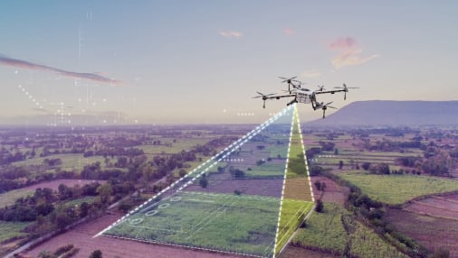
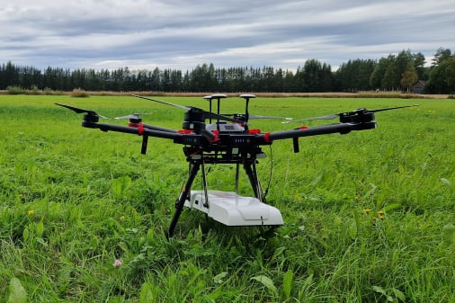
At HI-RES Digital Mapping UG LTD, we combine precision drone technology with expert insights to deliver high-resolution aerial solutions. Our services cover everything from topographic mapping and 3D modeling to detailed inspections and UAV-based surveys.

We believe in clarity from above — providing clients with the data they need to plan, build, and grow smarter. Our certified pilots and GIS professionals are ready to elevate your project with safety, innovation, and accuracy at the core of everything we do.
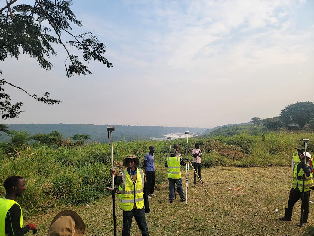
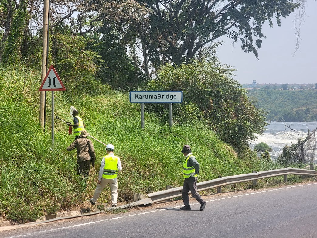
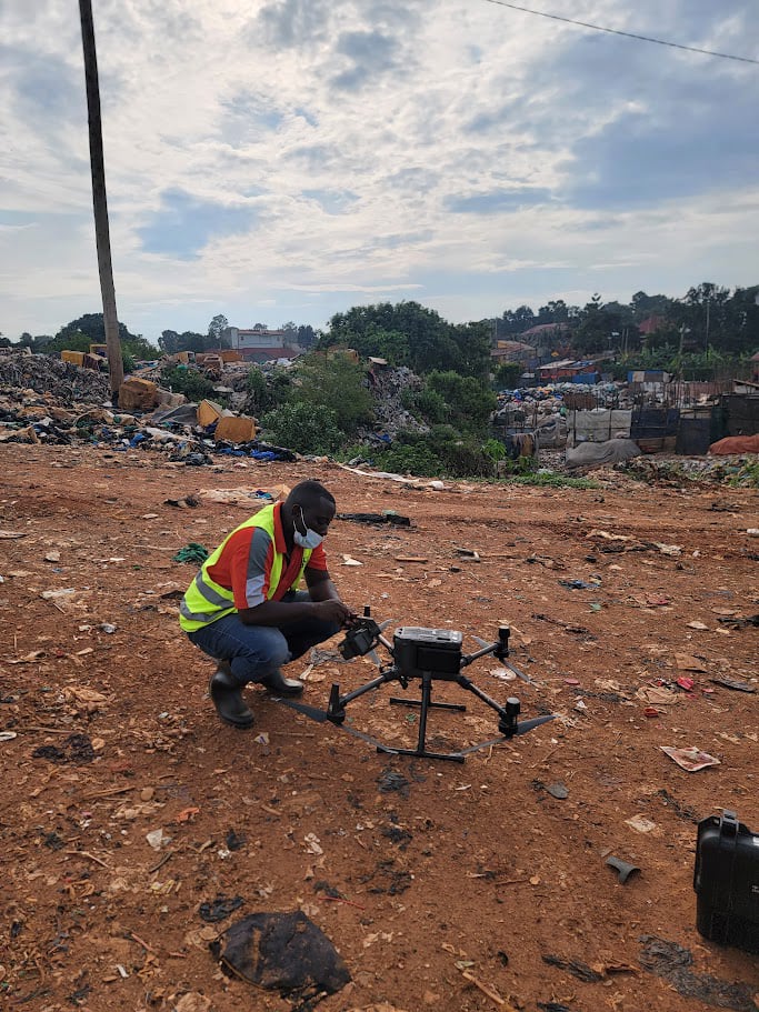
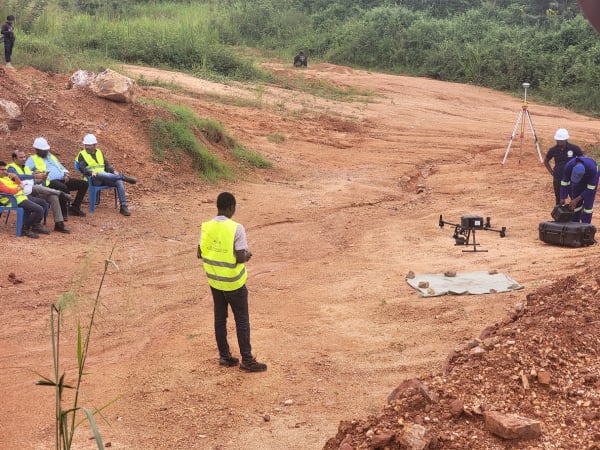
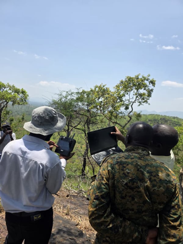
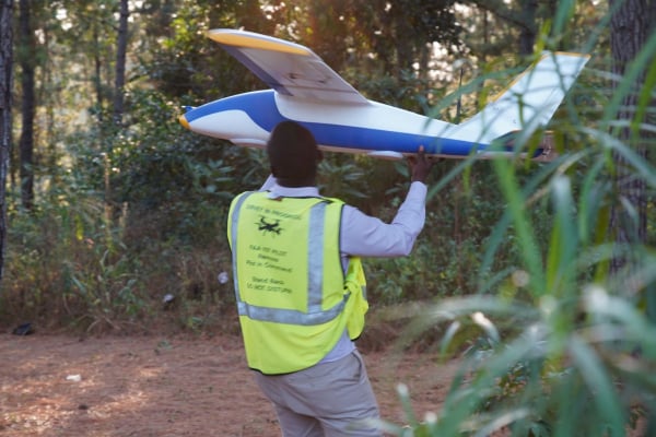
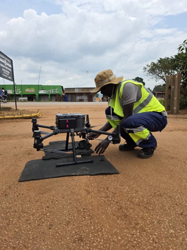
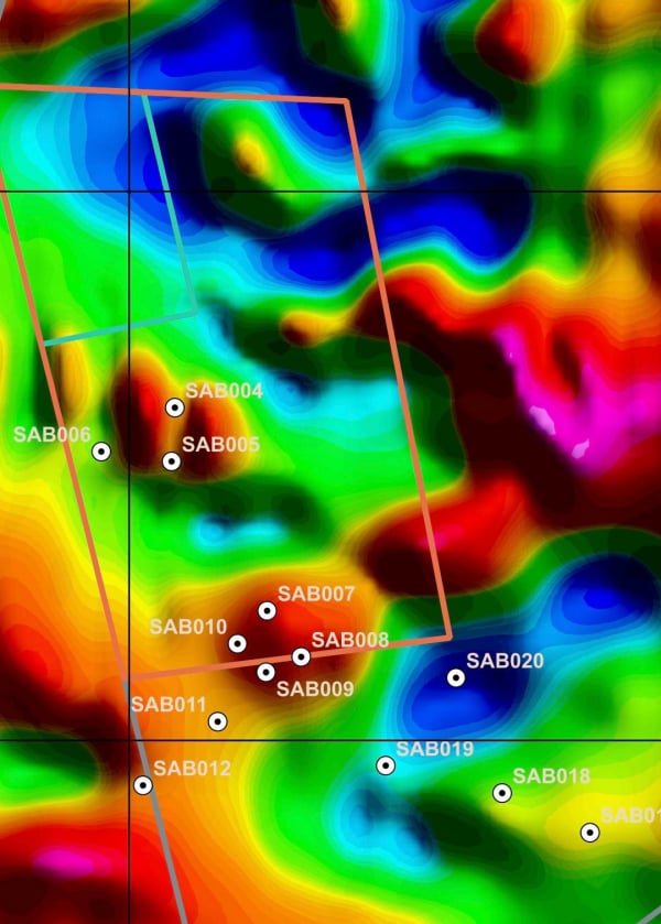
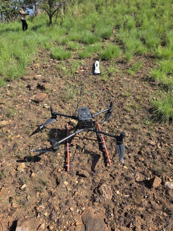
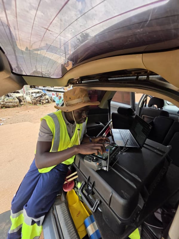
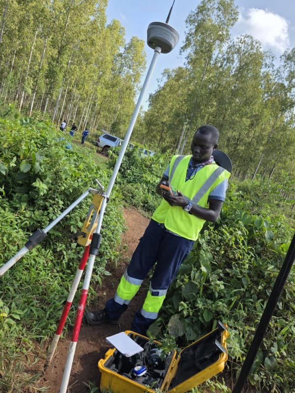
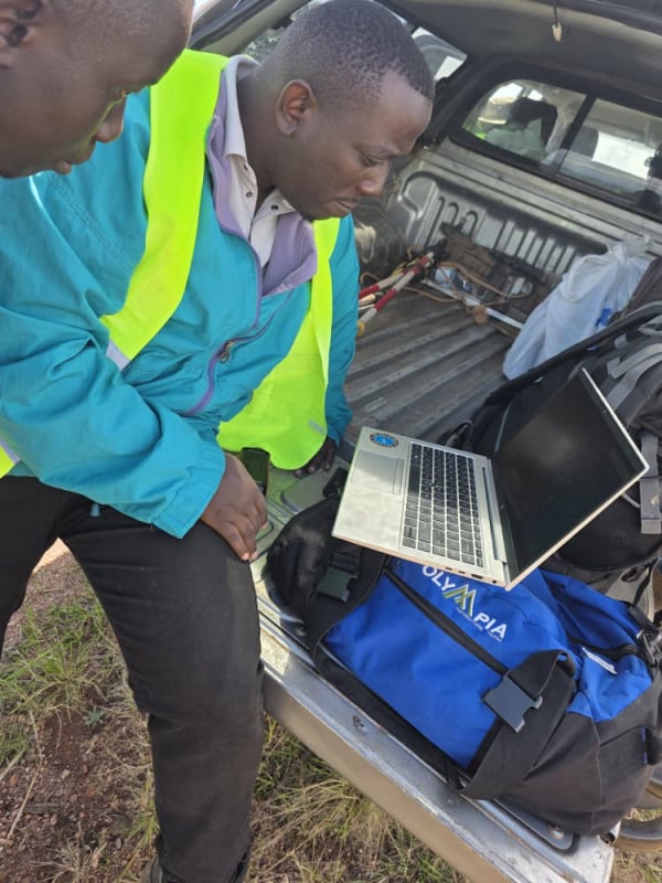
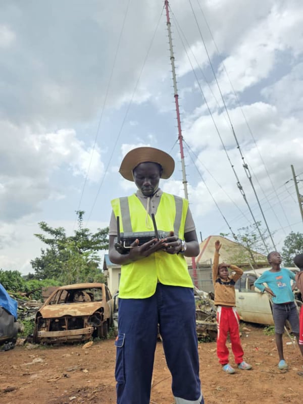
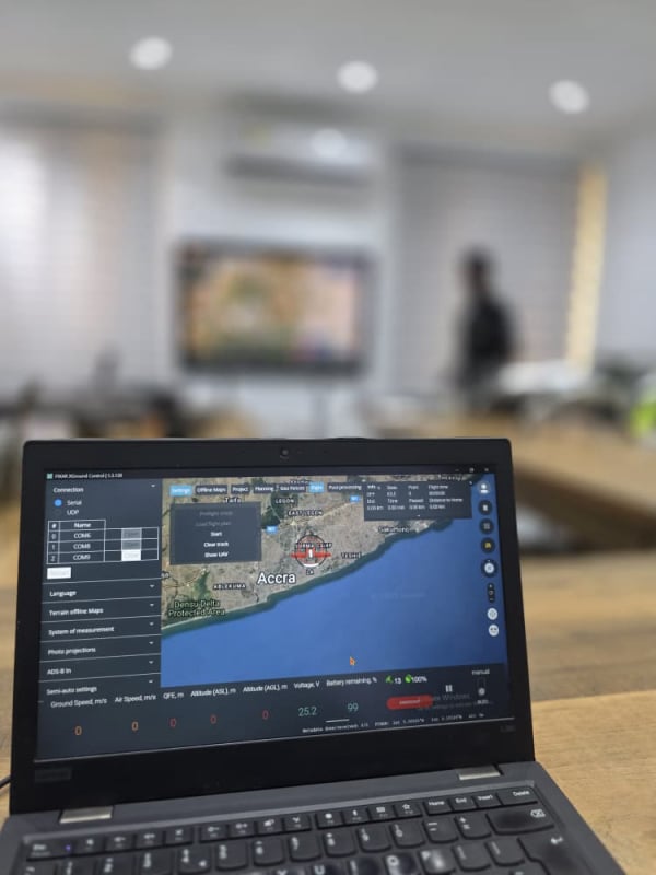
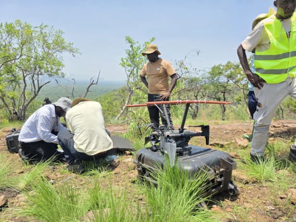
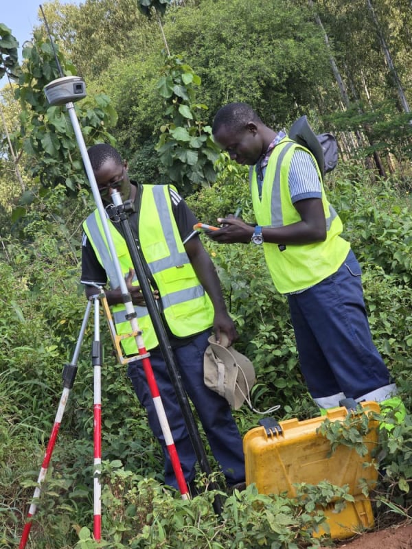
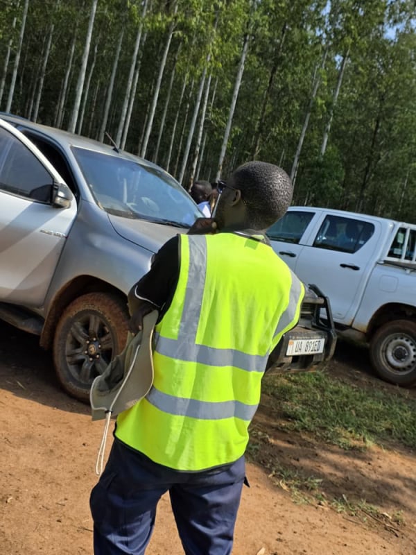
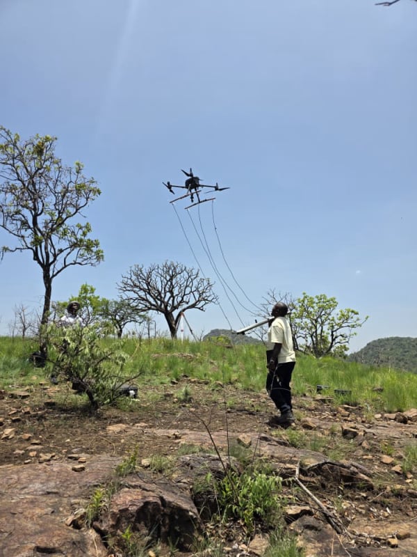
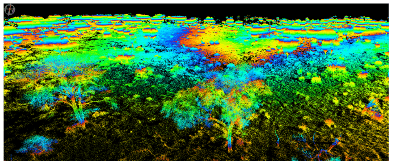
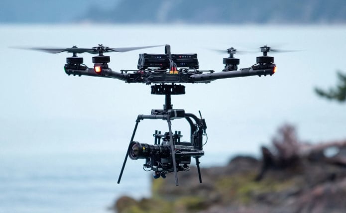
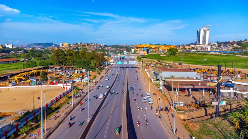
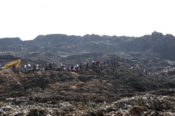
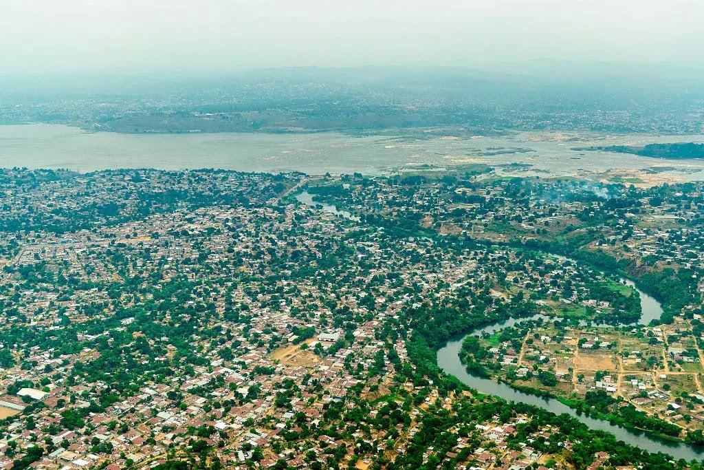
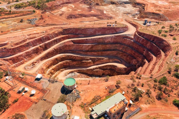
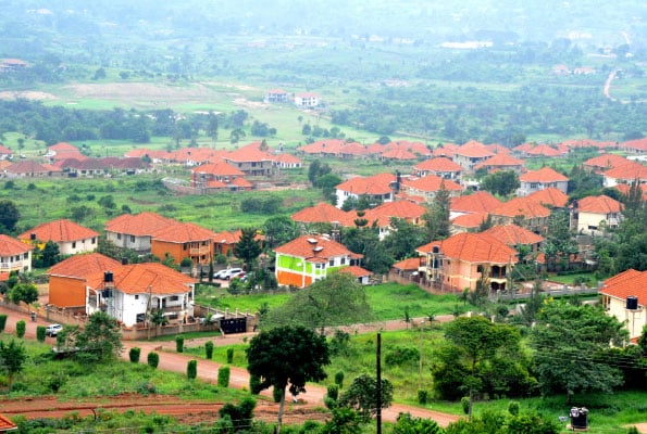
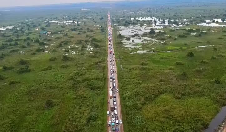
Gallery

Our Services

Hi-Res Digital Mapping
Topographic Survey
High-resolution terrain mapping for accurate land analysis and planning.

Hi-Res Digital Mapping
Magnetic Survey
Non-invasive detection of underground structures and materials.
Hi-Res Digital Mapping
Gas Detection Survey
Identify gas leaks or emissions safely with precision drone sensors.
Hi-Res Digital Mapping
Bathymetric Survey
Map water bodies’ depth profiles for marine and civil projects.
Hi-Res Digital Mapping
Consultancy
Professional guidance on drone strategy, compliance, and operations.
Hi-Res Digital Mapping
Traffic Studies
Analyze flow, congestion, and safety using aerial traffic data.
Hi-Res Digital Mapping
AI & ML Integration
Leverage intelligent automation for decision-making and data analysis.
Hi-Res Digital Mapping
Thermal Inspection
Detect heat anomalies in equipment, buildings, or pipelines.
Hi-Res Digital Mapping
Surveillance
Real-time monitoring for security, events, wildlife, and more.

Sectors We Serve

Empowering industries with precision UAV solutions tailored for efficiency, safety, and innovation.
Hi-Res Digital Mapping
Agriculture

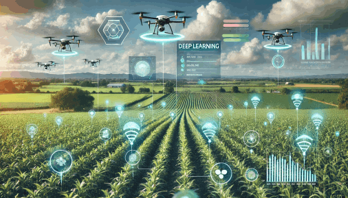
Crop monitoring, irrigation mapping, and precision agriculture powered by aerial intelligence.

Hi-Res Digital Mapping
Security & Defence

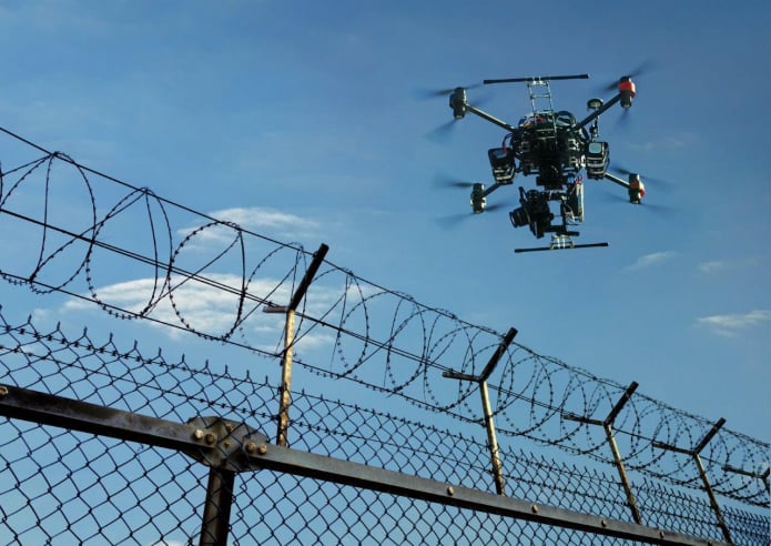
Real-time situational awareness, surveillance, and rapid deployment support for tactical operations.

Hi-Res Digital Mapping
Engineering & Construction

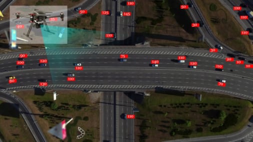
Site analysis, structural monitoring, and progress tracking with centimeter-level accuracy.

Hi-Res Digital Mapping
Researchers

We assist researchers with aerial data for surveys and field studies.

Hi-Res Digital Mapping
Survey & Infrastructure

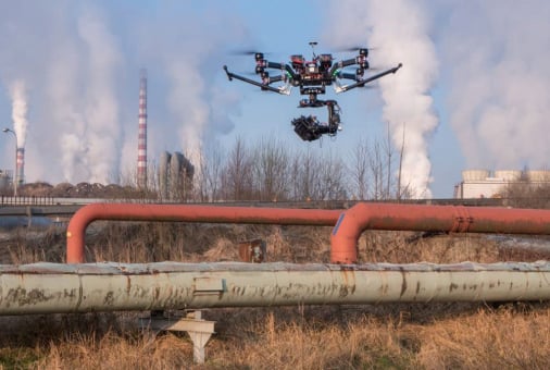
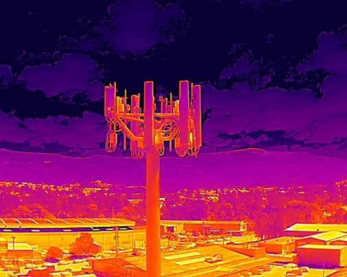
Accurate mapping, infrastructure inspection, and asset lifecycle management using drone data.

Hi-Res Digital Mapping
Consultancy

We support medical logistics and emergency access through drone operations.

Our Core Values

The below values are the principles that drive us forward, inspire us to be better, and unite us in our shared vision of a
world transformed by drone technology.

INNOVATION

We put our clients and communities at the center of every mission, designing solutions that serve real needs with precision and care.


INTEGRITY

We act with honesty, responsibility, and respect—always doing the right thing, even when no one is watching.


EXCELLENCE

We hold ourselves to the highest standards in performance, safety, and innovation across every aerial solution we offer.


SUSTAINABILITY

We are committed to delivering value today without compromising tomorrow—through smart tech and responsible practices.


Contacts

Phone

+257 0701 560211

Hi-Res Digital Mapping

Contact Us

Fill this form and we'll get back to you soon.

Our Clients

Hi-Res Digital Mapping
Address

7K OLD PORTBELL Road,
Industrial Area,
KAMPALA, UGANDA


Contacts

Email: mutungitimothy22@gmail.com
Phone: +256 701 560211

Links
Feedback

Please send us your ideas, suggestions! Any feedback would be appreciated.